Hot New Info
Mishima City Public Transportation Map(English ver.) is available on this site.
2021.08.05
You can download a transportation map to access from Mishima Station South Exit to popular sightseeing spots.
♦ Download the map from here.
Mishima City official website “Mishima Public Transportation Map”
https://www.city.mishima.shizuoka.jp/ipn046408.html
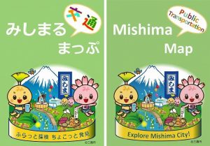
The maps show tourist attractions with the pictures, and time and fares to each destination. They are available at Mishima Sightseeing Center and other places.
♦ Means of transportation listed
Buses, taxies, and trains
♦ Provided information
Duration, fares, bus stops, etc.
♦ Examples of travel attractions listed
(In the city)
・Mishima Skywalk ・Izu Fruit Park ・Yamanaka Fort Ruins ・Mishima Taisha Shrine
(The suburbs)
Numazu Port, Lake Ashinoko, Hakone Sekisho (checkpoint), etc.